Early French Quarter Maps
Royal Tours New Orleans • March 30, 2016
Early French Quarter Maps
We are constantly engaged in research, not only for our own curiousity, but in an effort to improve the content of our tours. Some recent research lead us to finding some maps of early New Orleans and what would come to be known as the French Quarter. Some of these maps are from only a few years after the founding of Nouvelle Orleans. They piqued our interest, and we wanted to share them with you.
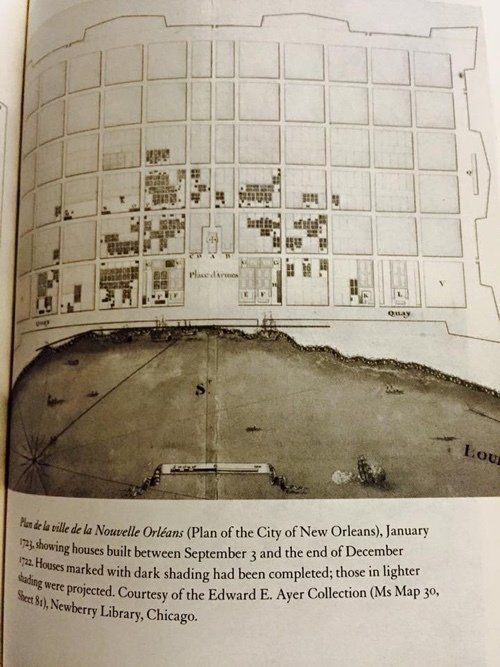
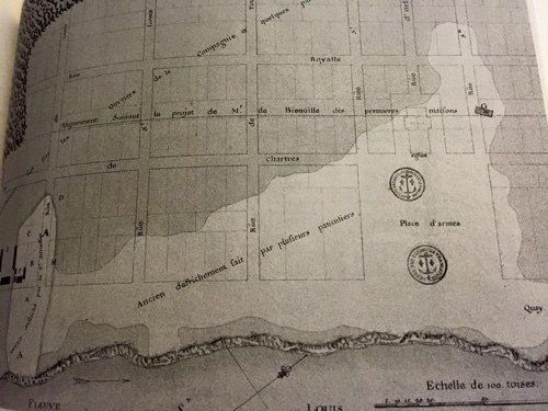
The first images are maps of Nouvelle Orleans as laid out by Bienville and the city’s second engineer, Adrien de Pauger, who had arrived at the request of Bienville. These maps represent the layout of the city only a few years after its founding in 1718. The names of most of the streets were established early on, and the church and military parade grounds were the focal points of the city.
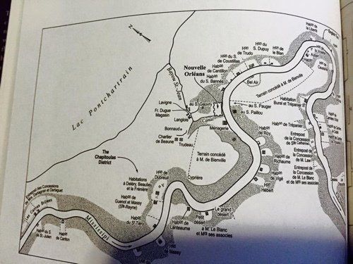
This map depicts a section of southeastern Louisiana and the path of the Mississippi River as it snakes its way past New Orleans.
Join Royal Tours New Orleans
for your own private tour of the French Quarter. Call us at 504-507-8333 or email us
to book now!
N orma Wallace, a name that evokes intrigue and fascination, was a prominent figure in New Orleans during the early and mid-20th century. As a powerful and resourceful madam, she operated a network of brothels that thrived despite the constant threat of law enforcement. Beginning in 1920, she would operate brothels for the next 45 years, a span that has not been beaten in the history of New Orleans.
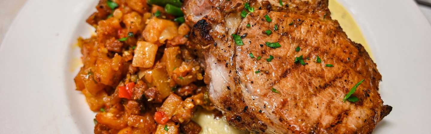
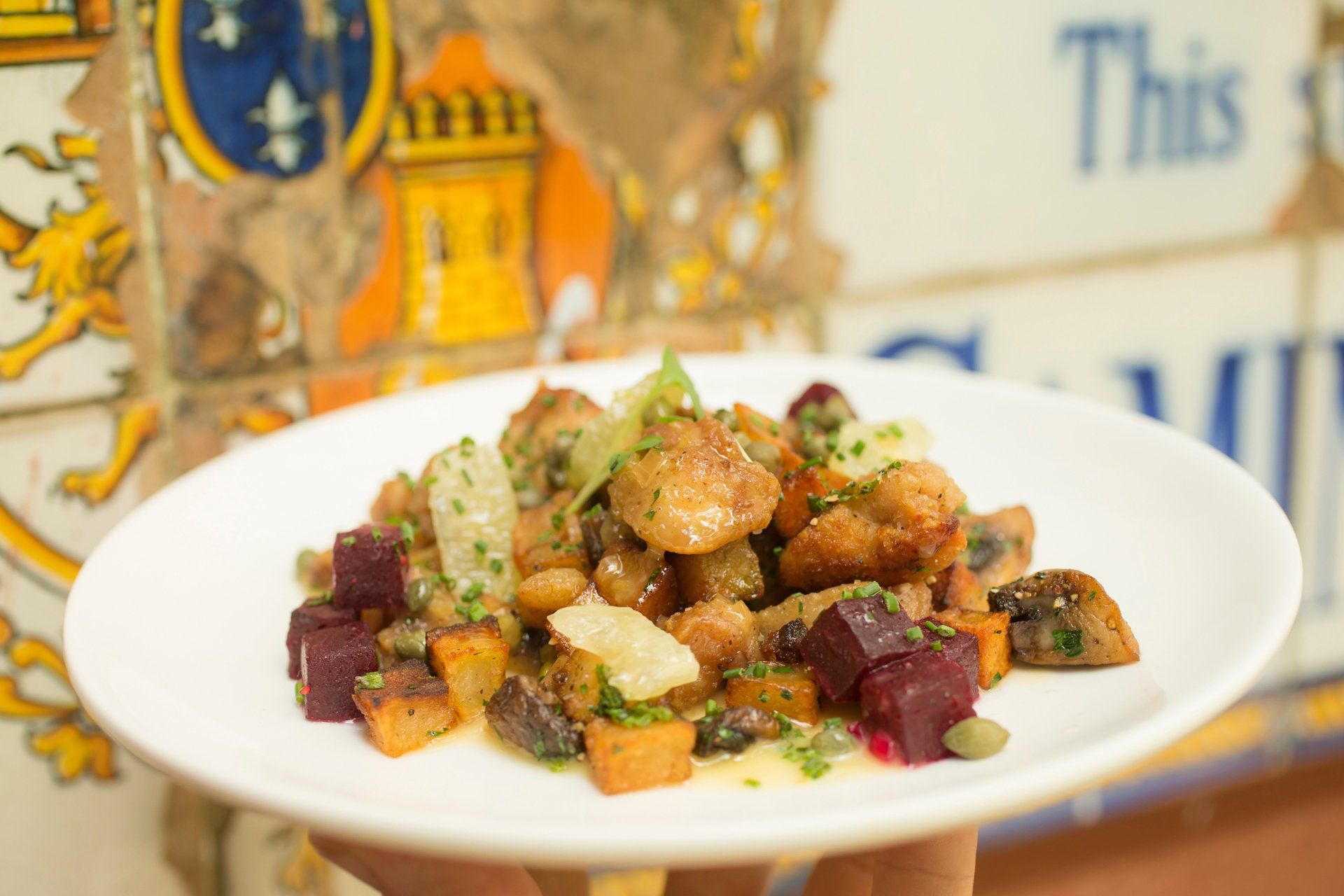
It's Coolinary month in New Orleans!
Many people ask us why New Orleans is so haunted. Here's our take...
New Orleans celebrates with the 2020 Reveillon Menus.
Join us on Youtube!
Romeo Spikes and the story of the Hanging Boy in the French Quarter
BlondeVoyage901 offers her first installment of travel tips for New Orleans from a long term resident.
The Official New Orleans Mardi Gras 2020 Parade Schedule
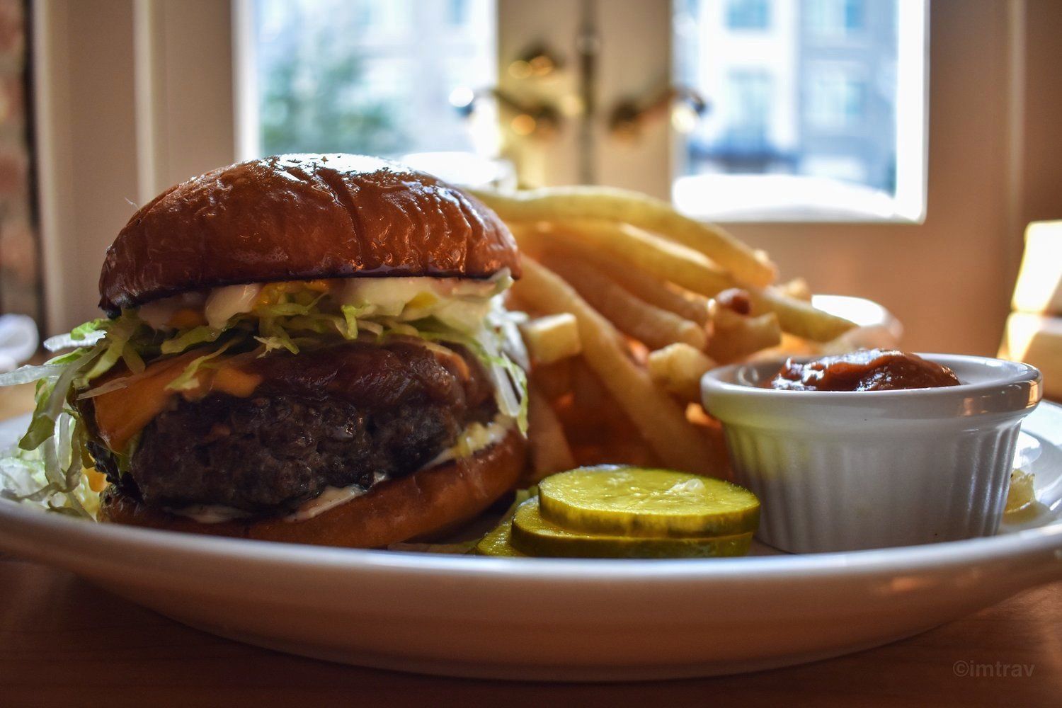
After a late night on Bourbon Street or Frenchman, where are the best places for a satisfying plate of food in the French Quarter?